
Poynter gives bird’s-eye view of modern ag
If ever an Ag Day speaker could be forgiven for droning on and on about his topic, it was Noah Poynter on Saturday.
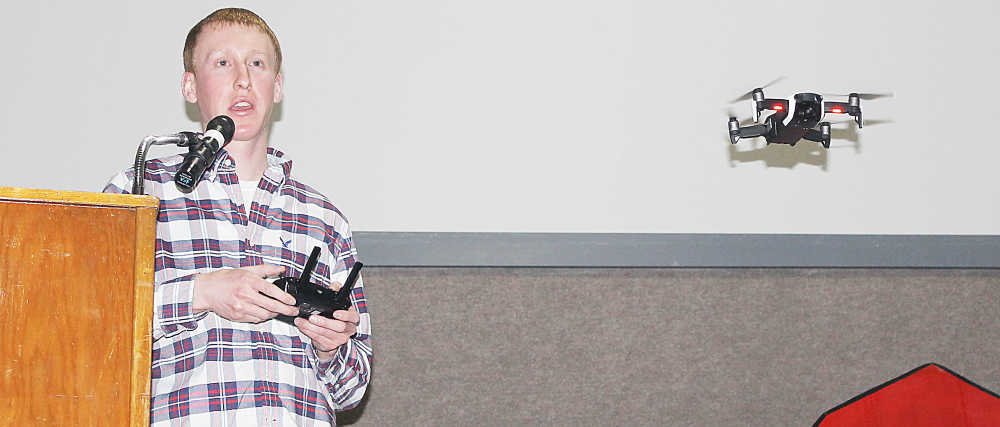
The North Putnam product and Purdue University sophomore spoke about the use of drones in production agriculture to a standing-room-only crowd at the Putnam County Fairgrounds Community Building.
For Poynter, the morning was about sharing a passion that has grown over the last few years. It started with a GoPro camera when he was still in high school, as was colorfully illustrated by North Putnam FFA sponsor Kate Skirvin in her introduction.
“There were times that his parents and myself got very angry with the GoPro because it was everywhere,” Skirvin said with a laugh. “Little did we know that this GoPro would become an amazing enterprise.”
That enterprise is Noah Poynter Media, a videography/photography business he founded early last year.
The business isn’t the whole story, though, it’s how Poynter balances it with his studies as a full-time student at Purdue and his continued work at the family farm in Clinton Township, Poynter Family Farms.
However, as Poynter displayed for the Ag Day crowd, it all fits together.
He explained how, in certain cases, drones can be used for crop spraying. While Poynter does not have personal experience in this sort of drone flight, he explained how it can be useful for certain smaller plots, with the way the drone is able to scan the ground to determine the right amount of product and distance from the surface.
The other two areas of drone usage are those in which Poynter has more experience.
The first is crop scouting, which can be performed more efficiently than the more time-honored method of simply walking the field.
“You can get an overview of what everything’s doing,” Poynter explained.
The final use for drones Poynter discussed is field mapping, which can be a different animal entirely, as it involves programming the drone beforehand and then letting GPS guide the completely autonomous machines.
“Once you draw a path for the drone to fly, it will fly that same path, taking pictures straight down,” Poynter said.
The cameras then generate Normalized Difference Vegetation Index (NDVI) images to show farmers not only how the crops are doing, but how they differ in distinct areas.
Poynter said a few drones are even able to count individual plants, another indication of performance.
Advising those in the crowd to “hold on to their papers,” Poynter even gave a brief demonstration of what one of his smaller drones can do with a flyover of the crowd.