
Easter Sunday, April Fool surprise yields record amount of snow
You just knew when Easter and April Fools' Day collided on the calendar Sunday, something had to give.
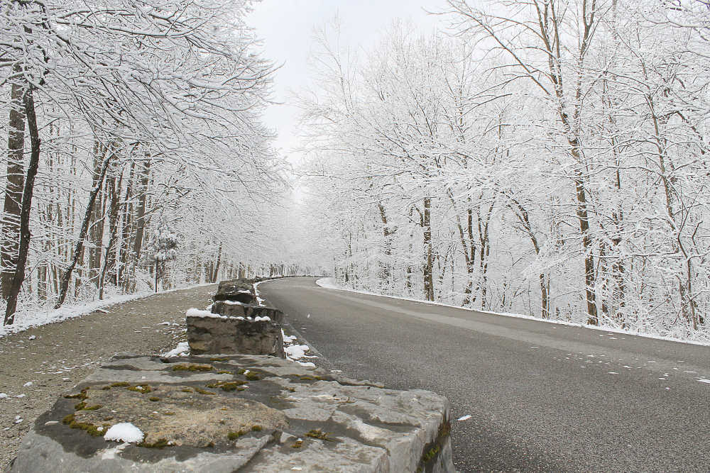
And that meant a rare April snowstorm for west-central Indiana. So rare, in fact, that it set two central Indiana records.
The three inches of snow measured by Putnam County official weather observer Diana Foust produced records both for Easter Sunday and April 1.
The previous record snowfall on Easter Sunday in west-central Indiana was three-tenths of an inch of snow, recorded on Easter 1964 and tied on Easter Sunday 1972.
Meanwhile, until Sunday, the record for snowfall on April Fools' Day was two inches, established April 1, 1924.
"We had three inches of snow out here," Foust reported Monday from east of Greencastle in the Fillmore area. "It was above freezing when it started (about 7:15 p.m.), so it could have been slightly higher than that."
The snow/water equivalent was .20 inches for the event, she noted.
Meanwhile, with 6.8 inches of snow recorded in Putnam County, March 2018 also exited this weekend as the sixth snowiest March ever. It was the snowiest March since 2013 and marked the first time March has been central Indiana's snowiest month since the winter of 1974-75.
Again, it could have been worse. After recording 6.8 inches of snow for March in Putnam County, Foust logged 2.19 inches of rain after that during the month.
Since the official start of spring on March 20, central Indiana has seen 12.9″inches of snowfall (reportedly the most ever for the period March 20-April 1) and more than 3.4 inches″of precipitation, the most since 1985.
The area has also experienced the fewest 60-degree days since March 1 in 34 years.
Remember that adage about if you don't like the Indiana weather, just wait 15 minutes? Well, it'll be longer than that but the area will see a change Tuesday and could see thunderstorms, including gusty wind gusts, large hail and the potential for a tornado, the National Weather Service said.
A storm system making its way into Illinois and Indiana is expected to bring much warmer air, meteorologist Dave Tucek said, and with it will come the possibility for heavy downpours and severe storms.
While Putnam County is not included in the weather warning area, much of south-central Indiana is included in a hazardous weather outlook issued by the Weather Service early Monday. Counties included are Hendricks, Boone, Owen, Morgan, Johnson, Marion, Hamilton, Shelby, Rush, Hancock, Henry, Sullivan, Greene, Monroe, Brown, Bartholomew, Decatur, Knox, Daviess, Martin, Lawrence, Jackson and Jennings.