
Our first snow didn’t come really all that early
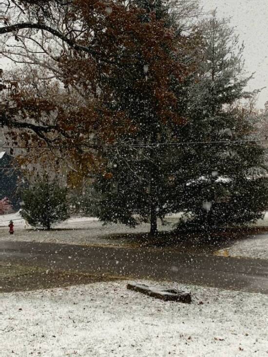
When the first measurable snow fell on the Greencastle and surrounding areas Sunday morning, it may have seemed a bit early to see white stuff covering your windshield or those still-positioned Halloween decorations.
But according to the National Weather Service Indianapolis office, the average date of the first measurable snowfall in central Indiana is -- drumroll please -- Nov. 19. So that half-inch snow Sunday fell exactly five days earlier than normal.
And while we’re talking about snow -- and it isn’t in the foreseeable forecast -- here are some other interesting numbers and dates from the National Weather Service:
-- Average date of last measurable snowfall: March 30.
-- Earliest date of first measurable snowfall: Oct. 18, 1989.
-- Latest date of last measurable snowfall: May 9, 1923.
Meanwhile, central Indiana snowfall records also include:
-- Maximum in 24 hours: 12.5 inches on Feb. 24-25, 1965.
-- Maximum in a single storm: 16.1 inches on Feb. 16-17, 1910.
-- Maximum in 1 month: 30.6 inches in January 1978.
-- Maximum in 1 season: 58.2 inches on 1981-82.
-- Maximum depth Measured: 20 inches Since 1948.
-- Day of the year which has received the most snow: Feb. 25 with 40.8 inches.
-- Maximum snowfall in a calendar day: March 19, 1906 with 12.1 inches.
-- Day of the year with the greatest average snow depth: Jan. 31 with 1.7 inches on the ground.
-- Day(s) of the year with the most number of snow days of a trace or greater: Jan.9, 15 and 30 with 29 days.